This page is also available in French.

The case study in 5 minutes

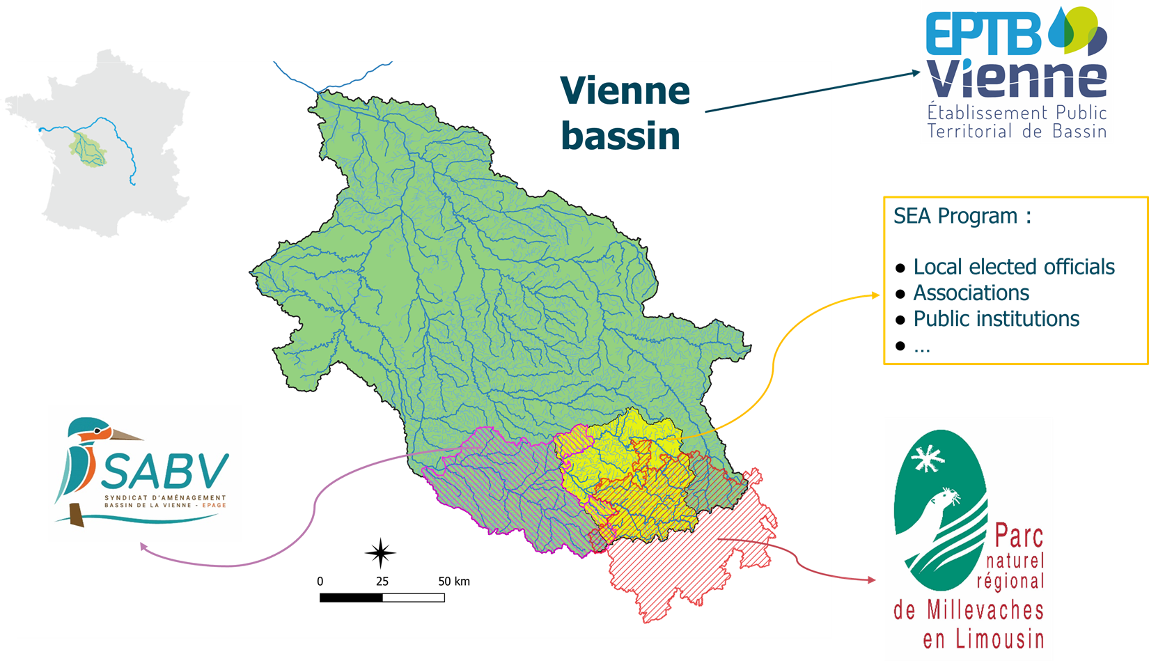
Location
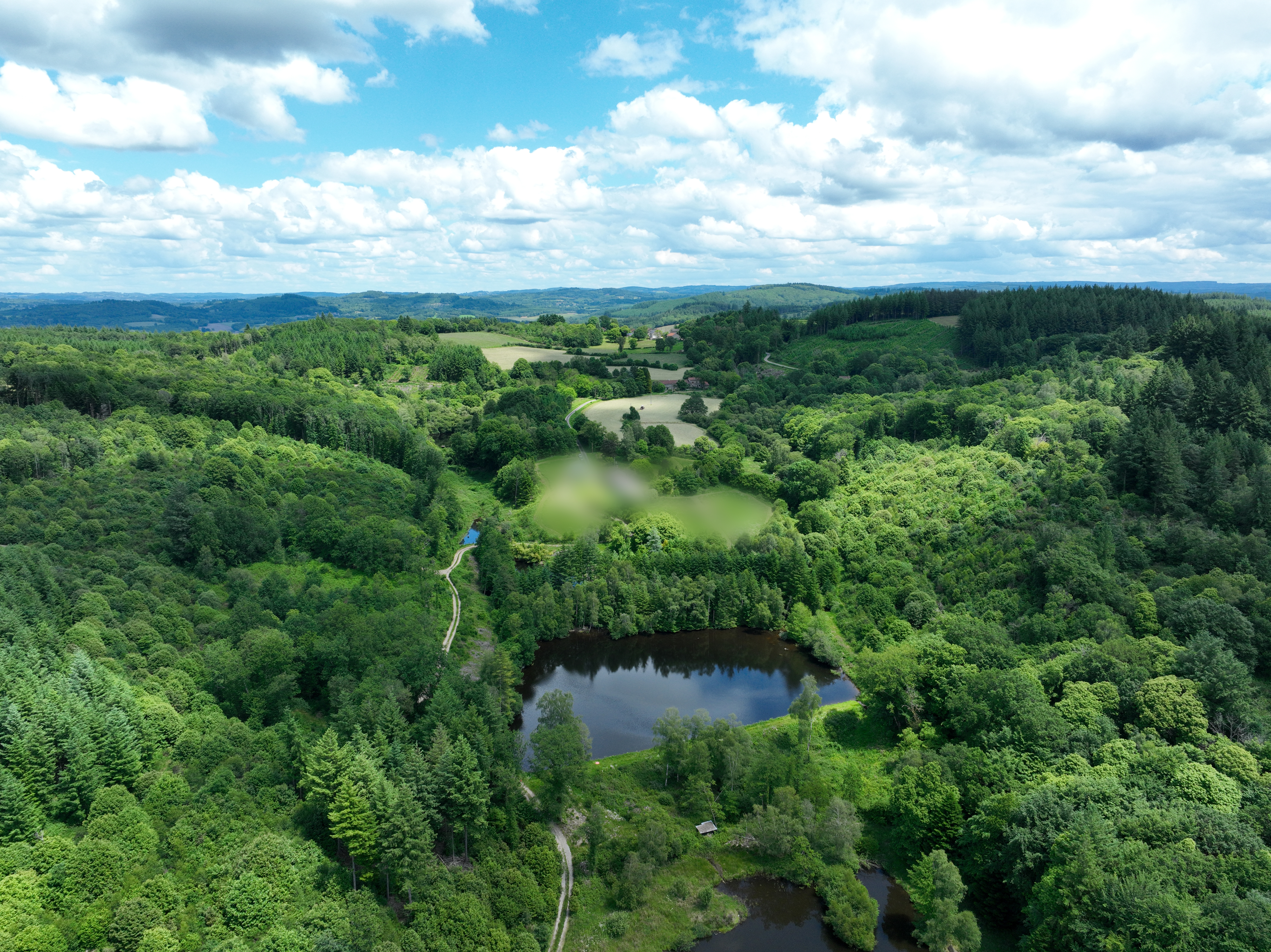
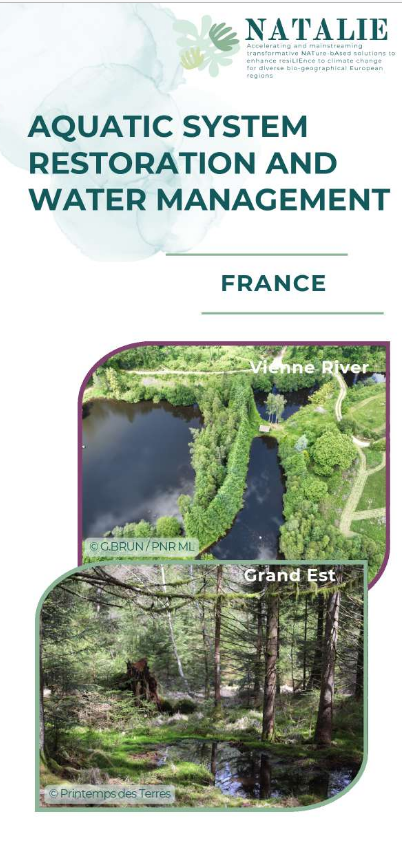
The demonstration site, the Vienne River basin, is located in the central part of France. It concerns a rural/agricultural area (biogeographical type: Atlantic) with an approximate area of 21,157km2. The NBS implementation will take place in 7 sites.
• Site 1: 1 water body built as a dam to remove
• Site 2: 4 water bodies built as dams to remove
• Site 3: peatland to be restored
• Site 4: 1 water body built as a dam to remove
• Site 5: 1 water body built as a dam to remove
• Site 6: 2 water bodies built as dams to remove
• Site 7: 1 ancient water body built as a dam to remove

Description of the area
DS#6 is located in France, in the Nouvelle-Aquitaine region. It is made up of seven sites that are spread across the Vienne River basin, a tributary of the Loire. The sites are located at the head of the Vienne upstream watershed, an area since 2011 involved in a program for the conservation and restoration of aquatic environments (“Sources en actions”). This programme brings together several local players, including EPTB Vienne, PNR Millevaches and SABV, who have joined forces within the NATALIE project to form the DS#6.
In a nutshell:
• Area of SEA territory: 2181 km²
• 50 % of surface covered by woodland
• 45 % of agricultural aera (breeding land)
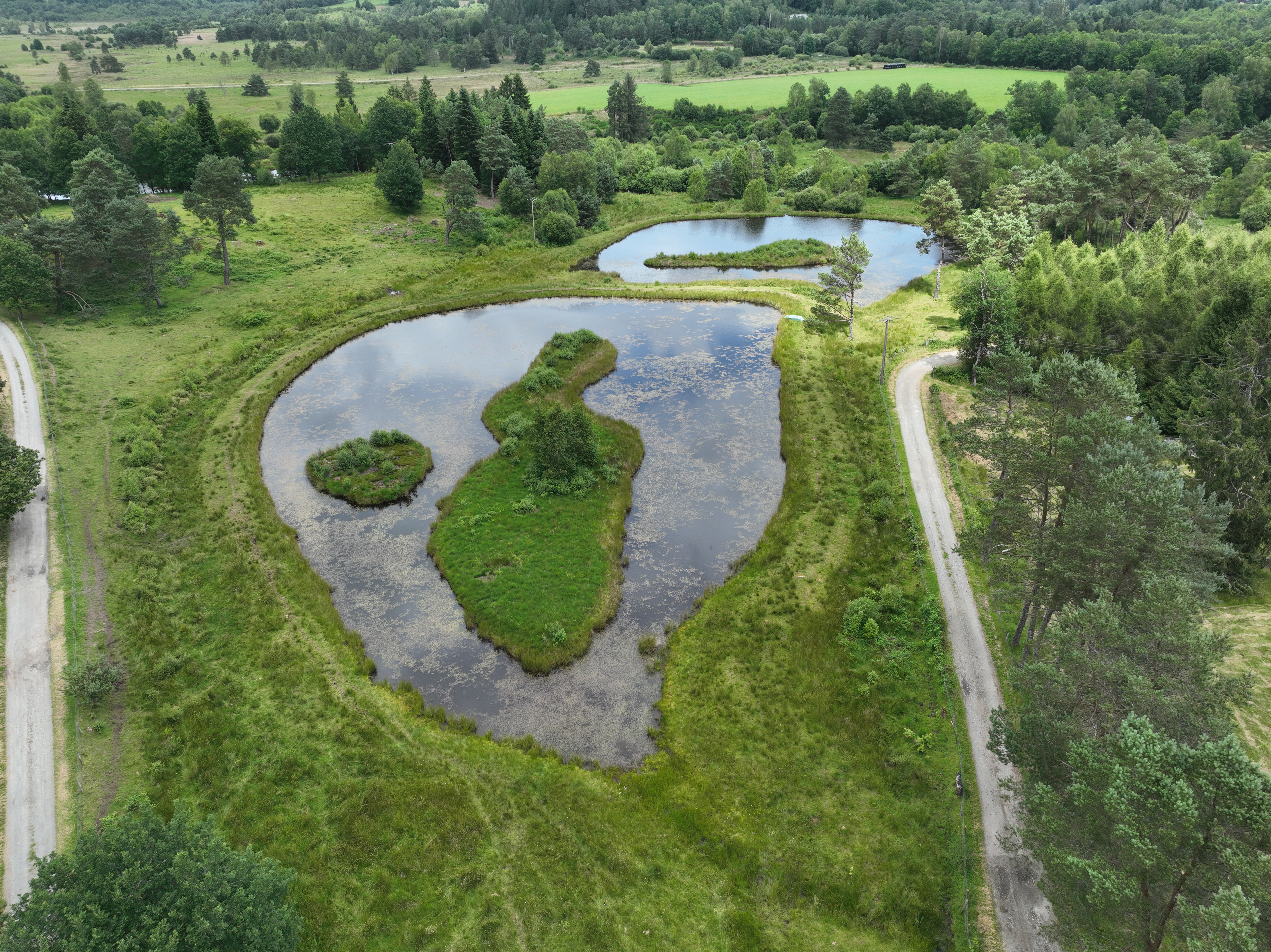
• Wetlands : 10 % of the territory’s surface
• About 1,000 ponds in the SEA area
• Low density population (21 hab/km²)

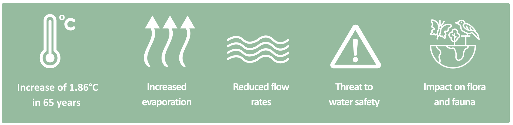
Climatic Challenges

Planned activities
In DS#6, two types of NBS will be implemented and monitored;
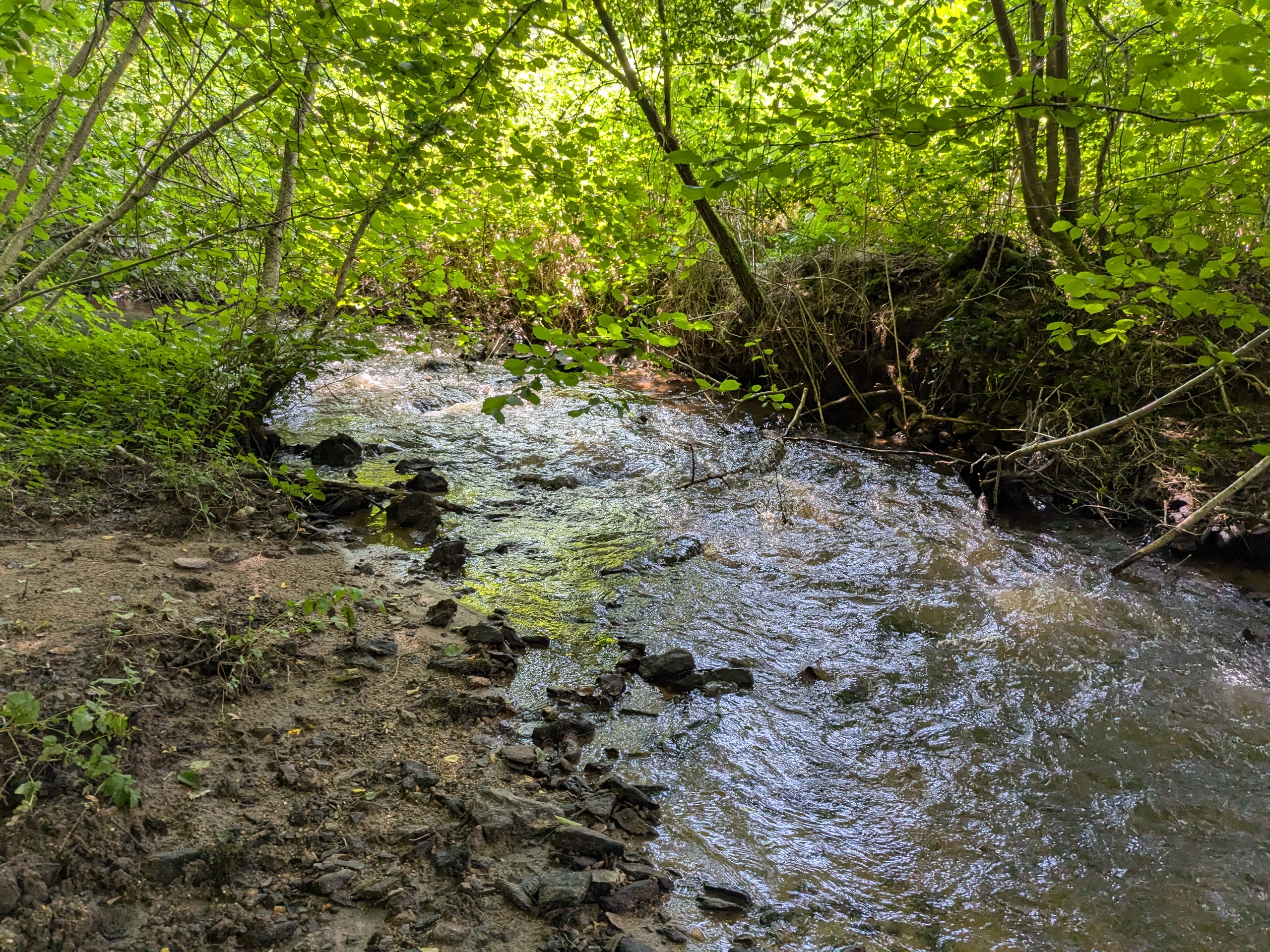
1. Removal of artificial water bodies (ponds) in the beds of watercourses (i.e. built as dams), and natural river hydromorphology restoration.
2. Removal of drains in wetlands and, if relevant, natural river hydromorphology restoration.
DS#6 partners will be supported in their actions by stakeholders involved in the SEA programme, who will be able to share their knowledge, give advice, follow operations, etc. These exchanges will be facilitated by the introduction of a NATALIE section on the various SEA committees (technical committee, steering committee, and scientific commission).
This integration of local stakeholders into the processes and the work carried out jointly with FL#6 and the other WPs, particularly WP2 and WP6, must give a solid basis for strengthening the deployment of NBSs in the Vienne River basin.

Progress
The first year was used to select 7 sites for the NBSs implementation. These sites have been the subject of agreements with the owners or purchases. Then, the monitoring to establish the initial states have been designed through bibliography and consultation of companies. Finally, the monitoring has been implemented: flows monitoring, water temperatures monitoring, fauna & flora inventories, landscape evolution monitoring, etc. These steps are the starting point to quantify the contribution of NBSs to climate change adaptation. Without these steps, it would be impossible to prove the benefits of such measures.
The beginning of the NATALIE project’s second year was devoted to the NBSs designing and obtaining the necessary authorisations for their implementation. Six of the seven sites selected have a pre-work study completed and, for five sites also, public consultations for the works are in under way or have been completed.
This second year is also an opportunity to step up communication about our actions, in particular with the production of the first 2 episodes of our series dedicated to the NATALIE project. Discover our series here.
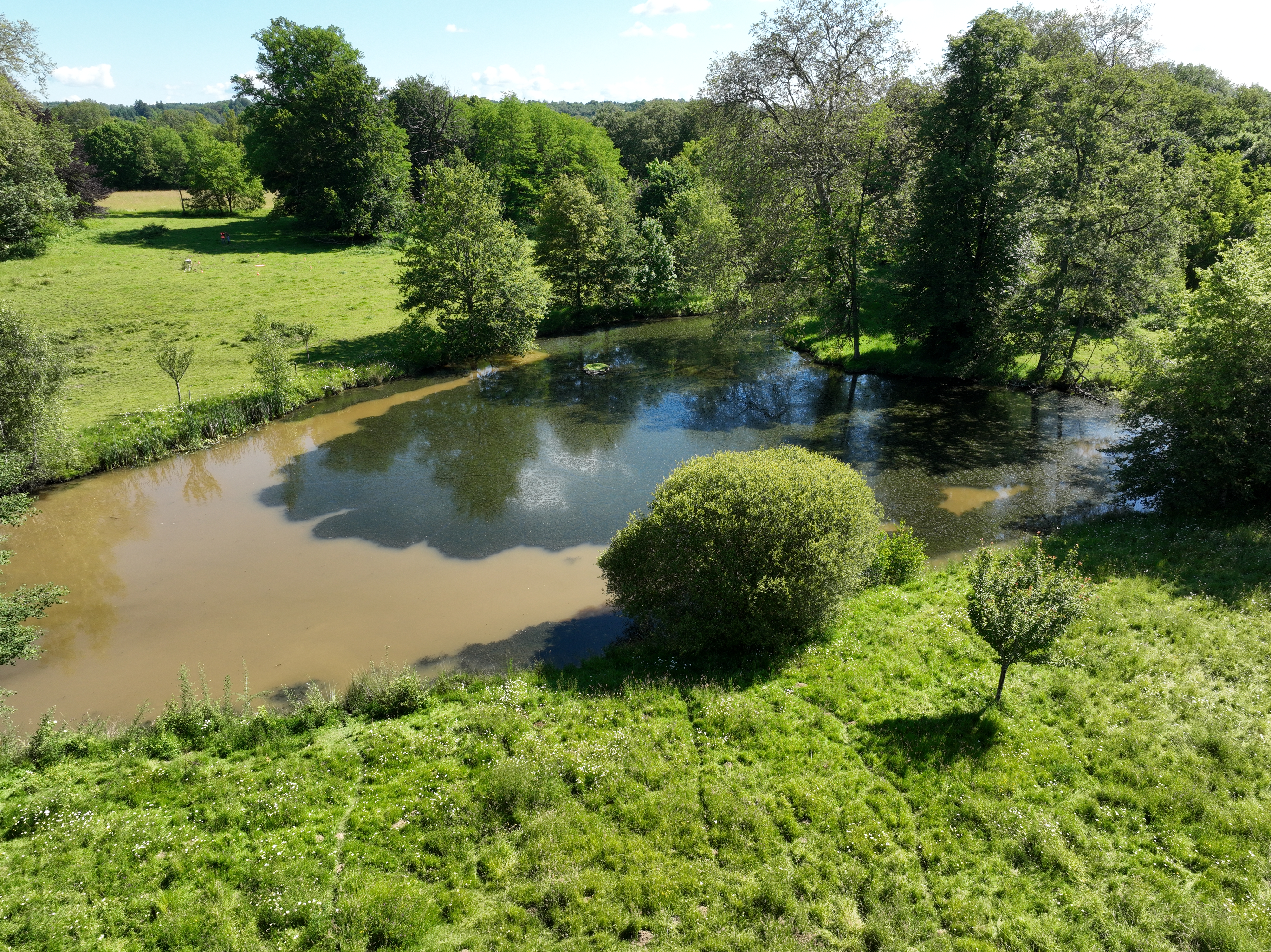
In May 2025, a significant milestone was reached on Demonstration Site 6 (DS6), dedicated to improving aquatic system restoration and water management in the Vienne River basin (France). The first phase of restoration works on Site 1, in Saint-Yrieix-sous-Aixe has now been successfully completed.
Historical context
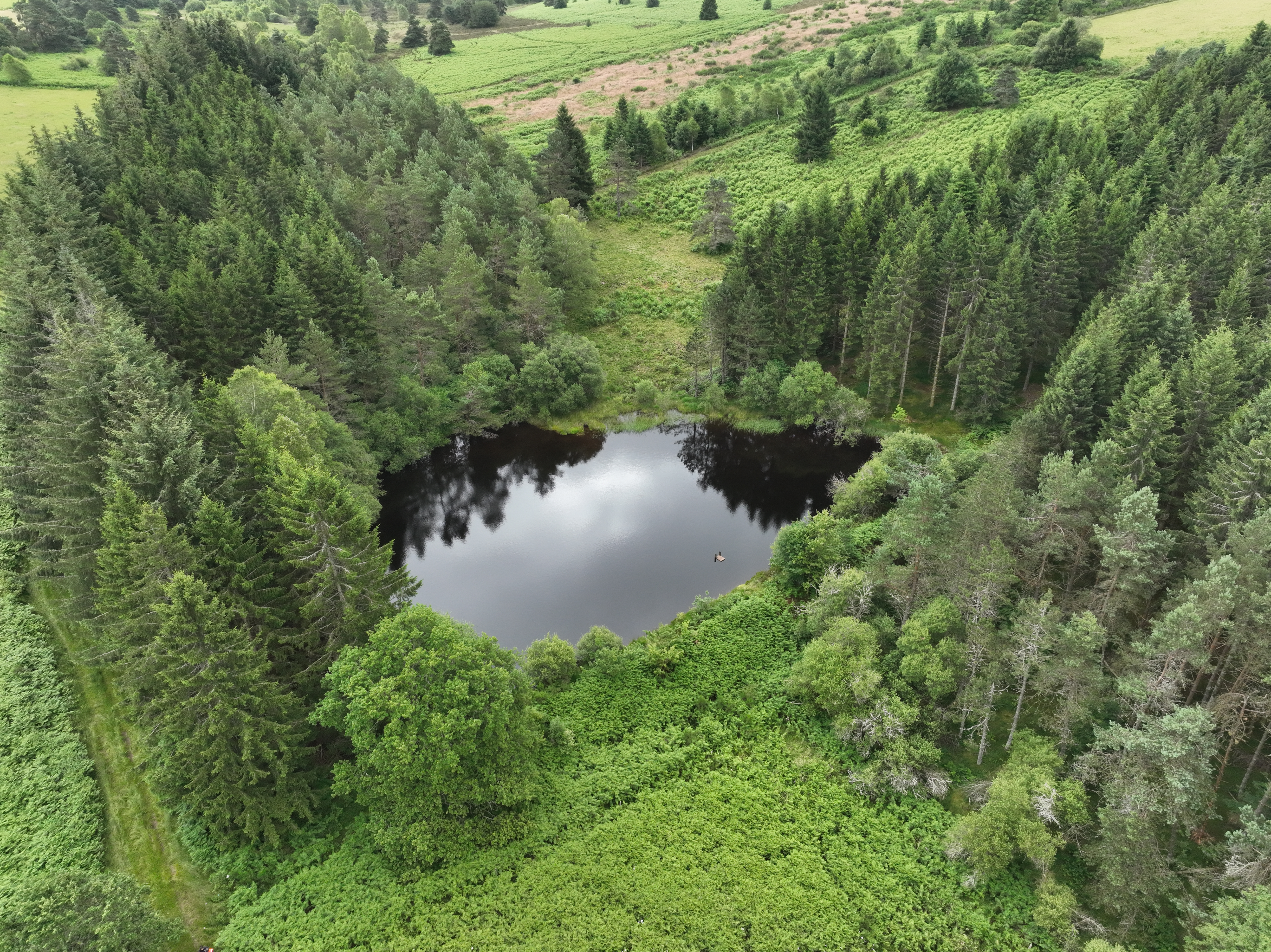
For decades, small artificial ponds constructed as dams have fragmented watercourses throughout the basin. These structures were initially created for ornamental and recreational purposes. However, they pose serious challenges:
- They block natural water flows,
- They hinder the movement of aquatic life and sediments,
- And they significantly increase evaporation losses, a critical issue in the context of climate change.
Estimates show that over-evaporation(1) from these ponds equals the basin’s total drinking water withdrawals, a situation that highlights the need for action to secure water resources for ecosystems, agriculture, industry, and communities.
What Has Been Achieved?
The works carried out on Site 1 aimed to restore a more natural hydrological regime. Key actions included:
- Emptying the artificial pond, directing its water through a settling basin to avoid sediment pollution downstream,
- Rescuing fish populations and removing invasive species,
- Breaching the dam to allow the natural watercourse to flow freely once again.
These interventions contribute directly to re-establishing natural processes, supporting biodiversity, and improving the ecological functioning of the river system.
What’s Next?
The next months will allow nature to take its course. The mud will dry throughout the summer, and the watercourse will naturally redefine its path.
A second phase of restoration is planned later this year, including a complete removal of the dam, the restoration of the riverbed where necessary and the creation of a small, disconnected pond to serve as a biodiversity refuge without impacting the river’s flow.
Why This Matters?
Removing artificial ponds and restoring watercourses helps to:
- Reduce evaporation,
- Improve natural flow regimes,
- Reconnect habitats for wildlife,
- Support sediment transport and ecological continuity.
These actions contribute to strengthening the basin’s resilience to climate change while preserving water resources for future needs.
Through such concrete examples, NATALIE demonstrates how nature-based solutions (NBS) can offer effective responses to water management challenges across Europe. Discover more of the CS#6 here.
(1) Corresponds to the excess evaporation from a pond compared with a wet meadow.

Ambition
Ambition during the project
The ambition is to demonstrate the effectiveness of the two NBS types in improving water flow and water quality using evidence-based knowledge.
Ambition after the project
Because wetlands restoration can be a very long process, improvements on hydrology should continue beyond the lifetime of the project. Furthermore, it is expected that the NATALIE NBS will be examples that will be followed by stakeholders at a larger scale.

Questions
In France, some ponds are larger than 500 m² and ranging in depth from one to few meters. Most of these ponds are artificial and strictly ornamental.
In the Vienne River basin, ponds have been developed by creating multiple dams on the watercourses, breaking their continuity and preventing wildlife and sediments from passing through normally. They are also a major source of evaporation during the summer months, reducing flows which may cause dry steams.
Restoring watercourses by removing ponds built as dams allow to reduce evaporation, increase flows and make wildlife and sediments circulate again! It’s a crucial challenge as the over-evaporation of ponds in Vienne River basin is estimated equalled to drinking water withdrawals. With climate change, this evaporated water will be needed to maintain stream ecosystems, domestical, industrial, and agricultural uses.
Regarding biodiversity, few ponds (dams) are shallow and allowing vegetation to develop, but most of them are too deep to welcome a rich biodiversity, making them less interesting than very small ponds disconnected from watercourses.

Gallery

Leaflet

Involved partners